Marrakech to Merzouga Distance by Car: Complete Breakdown 2026
Complete breakdown of Marrakech to Merzouga distance by car. Learn exact distances, driving times, routes, and segment breakdown for your road trip planning.
Marrakech to Merzouga Distance by Car: Complete Breakdown 2026
Introduction: Understanding Your Road Trip Distance
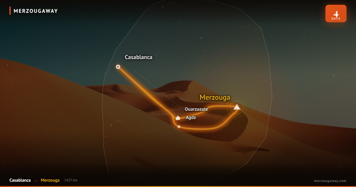
Planning a self-drive adventure from Marrakech to Merzouga requires understanding the complete distance breakdown, route options, and what to expect during your 470+ kilometer journey. This comprehensive guide provides exact distances, segment breakdowns, and practical driving information for 2026.
Total Distance Overview
Primary Route Distance
| Route | Total Distance | Driving Time | Terrain | Difficulty | |---|---|---|---|---| | Main Route | 470 km | 9-12 hours | Mixed (asphalt, gravel, sand) | Moderate | | Scenic Route (via Todgha) | 495 km | 10-13 hours | More mountain passes | Challenging | | Speed-Optimized Route | 430 km | 8-10 hours | Highways, less scenic | Easy |
The most common and recommended route is 470 km, taking 9-12 hours with stops.
Detailed Segment Breakdown
Segment 1: Marrakech to Asni (35 km)
Route Details
- Starting Point: Medina, Marrakech center
- Direction: South on N8 toward High Atlas
- Distance: 35 km
- Time: 45 minutes to 1 hour
- Road Type: Good asphalt, well-maintained
Points of Interest
- Marrakech suburbs and villages
- Limited stops recommended
- First climbing section begins
Driving Conditions
- Urban congestion in first 10 km
- Gradual elevation gain
- Normal traffic flow after city limits
Segment 2: Asni to Tizi n'Tichka Pass (60 km)
Route Details
- Direction: South-southeast toward High Atlas
- Distance: 60 km
- Time: 1.5 to 2 hours
- Road Type: Well-paved mountain road with hairpin turns
- Elevation: Sea level to 2,260 meters
Key Features of Pass
- Pass Name: Tizi n'Tichka (Atlas Gateway)
- Altitude: 2,260 meters above sea level
- Hairpin Curves: Approximately 20 switchback turns
- Pass Width: Mostly single lane with passing sections
- Safety Features: Guard rails on critical sections
Driving Conditions
- Steep grades (up to 8% incline)
- Excellent road surface despite curves
- Spectacular mountain views
- Weather can change rapidly
- Recommended: Use low gear on descent
Stops Available
- Roadside cafés (5-8 locations)
- Rest areas at pass summit (360-degree views)
- Parking areas for photos
- Small shop at highest point
Segment 3: Tizi n'Tichka Pass to Ait Ben Haddou (60 km)
Route Details
- Direction: South-southeast descent
- Distance: 60 km
- Time: 1.5 to 2 hours
- Road Type: Good asphalt with descent curves
- Elevation: 2,260 meters down to 1,200 meters
Notable Features
- Dramatic descent with panoramic views
- Fewer curves than ascent
- Wider sections of road
- Berber villages visible from road
Stops Recommended
- Ait Ben Haddou village entrance
- UNESCO viewpoint (famous photography spot)
- Local souvenir shops and cafés
Layover Time at Ait Ben Haddou
- Quick Stop: 20-30 minutes
- Standard Visit: 1-1.5 hours
- Thorough Exploration: 2-3 hours
- Entry Fee: 70 MAD (approximately $7 USD)
Segment 4: Ait Ben Haddou to Ouarzazate (35 km)
Route Details
- Direction: South on N8
- Distance: 35 km
- Time: 45 minutes to 1 hour
- Road Type: Good asphalt, relatively straight
- Elevation: Gradual descent to valley
Road Characteristics
- Film studios visible from highway
- Valley landscape with orchards
- Wider road sections
- Less mountainous, easier driving
Ouarzazate Stop Features
- Morocco's largest film production center
- Atlas Film Studios (optional visit: 1 hour)
- Multiple restaurants and cafés
- Modern petrol stations
- Rest area with bathrooms
- Souvenir markets
Recommended Layover: 45 minutes to 1 hour
Segment 5: Ouarzazate to Dades Valley (70 km)
Route Details
- Direction: Southeast on N10
- Distance: 70 km
- Time: 1.5 to 2 hours
- Road Type: Mix of asphalt and gravel sections
- Elevation: Valley floor to mountain slopes
Key Characteristics
- More remote and wild landscape
- Fewer settlements than previous sections
- Increasingly dramatic mountain views
- Road quality: Good to acceptable
Points of Interest
- Dades Valley entrance (signposted)
- Small villages with traditional architecture
- Green oasis vegetation
- Spectacular gorge formations visible
Road Conditions Note
- Some potholes on gravel sections (recent years improvements)
- Variable width (mostly 2 lanes)
- Occasional livestock crossing
- Limited services between towns
Segment 6: Dades Valley to Todgha Gorge (32 km)
Route Details
- Direction: East from Dades Valley
- Distance: 32 km (if visiting Todgha as detour)
- Time: 45 minutes to 1 hour
- Road Type: Narrow mountain road, primarily asphalt
- Elevation: Steep climbs and descents
Route Information
- Popular scenic detour (highly recommended)
- Dead-end route (must return same way)
- Can skip if short on time (adds 1-1.5 hours)
- Narrow sections require careful driving
Todgha Gorge Features
- Height: Canyon walls reach 300+ meters
- Width: As narrow as 10 meters in sections
- Length: 3 km scenic stretch
- Popular Activity: Photography, hiking, exploring
- Entry: Free access
- Time to Visit: 1-2 hours
If skipping Todgha: Saves 1 hour driving but miss iconic landmark
Segment 7: Todgha/Dades to Erfoud (90 km)
Route Details
- Direction: South-southeast toward Erfoud
- Distance: 90 km from Dades (56 km if skipping Todgha)
- Time: 2 to 2.5 hours
- Road Type: Asphalt with improving conditions toward Erfoud
- Elevation: Mountain desert plateau
Route Characteristics
- Landscape transitions from green to desert
- Fewer towns and services
- More remote feeling
- Road quality: Acceptable to good
- Occasional animals on roadside
Erfoud Stop Features
- Fossil market and shops
- Modern infrastructure (fuel, food, rest)
- Gateway to Merzouga
- Last major service point
- Recommended stop: 30-45 minutes
Segment 8: Erfoud to Merzouga (50 km)
Route Details
- Direction: Southeast toward Sahara
- Distance: 50 km
- Time: 1 hour to 1.5 hours
- Road Type: Paved road with sand sections
- Elevation: 700 meters descent toward Erg Chebbi
Road Transition
- First 30 km: Maintained asphalt
- Last 20 km: Mix of paved and sand sections
- Sand accumulation in dry seasons
- Roads require attention after heavy winds
Driving Conditions
- Sand may shift road surface
- Occasional dunes crossing pavement
- Water crossings in rainy seasons
- Stunning Sahara views begin
- Excitement builds as Merzouga approaches
Final Approach
- Desert camps start becoming visible
- Dunes visible from road
- Merzouga town center: 20 km from Erfoud
- Various camp turn-offs mark remaining distance
Distance by Time of Day
Morning Departure (08:00 AM Start)
| Segment | Distance | Time | Cumulative Time | Estimated Arrival | |---|---|---|---|---| | To Asni | 35 km | 1 hr | 1:00 | 09:00 | | To Tichka Pass | 60 km | 1.5 hrs | 2:30 | 10:30 | | To Ait Ben Haddou | 60 km | 2 hrs | 4:30 | 12:30 | | To Ouarzazate | 35 km | 1 hr | 5:30 | 13:30 | | To Dades | 70 km | 2 hrs | 7:30 | 15:30 | | To Erfoud | 90 km | 2.5 hrs | 10:00 | 18:00 | | To Merzouga | 50 km | 1.5 hrs | 11:30 | 19:30 | | TOTAL | 470 km | 11.5 hrs | 11:30 | Evening |
Afternoon Departure (14:00 Start)
| Segment | Distance | Arrival Time | |---|---|---| | To Ouarzazate | 130 km | 16:30 | | Final Rest Stop | 165 km | 18:30 | | To Merzouga | 470 km | 03:00-04:00 AM |
Late arrival means tired driving in dark, potentially unsafe
Evening Departure (18:00 Start)
| Segment | All segments | Final arrival | |---|---|---| | Complete journey | 470 km | 07:00-08:00 AM+1 |
Recommended by many for overnight travel with rest in morning
Route Variations and Alternate Distances
Option 1: Direct Route via N8/N10 (470 km)
Most Common Route
- Marrakech → Asni → Tichka Pass → Ait Ben Haddou → Ouarzazate → Dades → Erfoud → Merzouga
- Distance: 470 km
- Time: 9-12 hours
- Difficulty: Moderate
- Recommendation: Best balanced route
Option 2: Scenic Route including Todgha Gorge (495 km)
Adds Dramatic Canyon
- Same as Option 1 but detour east to Todgha Gorge
- Additional Distance: +25 km
- Additional Time: +1 hour
- Difficulty: Challenging (narrow mountain road)
- Recommendation: Worth the extra time for photography
Option 3: Speed Route via Chichaoua (430 km)
Faster but Less Scenic
- Marrakech → Chichaoua → Tichka Pass → Ouarzazate → Dades → Erfoud → Merzouga
- Distance: 430 km (40 km saved)
- Time: 8-10 hours (1-2 hours saved)
- Difficulty: Easy to moderate
- Tradeoff: Bypasses Ait Ben Haddou UNESCO site
Option 4: Multi-Day Scenic Route (515+ km)
Leisurely Exploration
- Add Kasbah Ait Ben Haddou overnight
- Visit Atlas Film Studios with tour
- Explore Todgha Gorge thoroughly
- Dades Valley overnight with hiking
- Total Distance: 515 km
- Total Time: 2-3 days
- Recommendation: Best experience, most time
Distance by Vehicle Type
Fuel Consumption Estimates
| Vehicle | Consumption Rate | Total Fuel Needed | |---|---|---| | Compact Car | 6-7 L/100km | 28-33 liters | | Mid-Size Sedan | 7-8 L/100km | 33-38 liters | | SUV/4x4 | 9-12 L/100km | 42-56 liters | | Van/Bus | 12-15 L/100km | 56-70 liters |
Cost Calculation Example (SUV)
- Distance: 470 km
- Consumption: 10 L/100km
- Fuel needed: 47 liters
- Fuel price: 12.50 MAD/liter
- Total fuel cost: 587 MAD (~$59 USD)
Practical Driving Tips for Distance
Pre-Drive Vehicle Check
- ✅ Tire pressure and condition (critical for mountain driving)
- ✅ Brake system inspection (downhill sections)
- ✅ Fluid levels (oil, coolant, brake fluid)
- ✅ Battery condition (especially if older vehicle)
- ✅ Wiper blades and lighting
- ✅ Spare tire, jack, and lug wrench
- ✅ First aid kit and warning triangles
Distance Pacing Strategy
| Time Segment | Activity | Rationale | |---|---|---| | 0-3 hours | Main driving | Start fresh, good energy | | 3-4 hours | Rest break (Ait Ben Haddou) | Cumulative fatigue emerging | | 4-6 hours | Resume driving | Midpoint push | | 6-7 hours | Dinner/rest (Ouarzazate) | Hunger and fatigue peak | | 7-9 hours | Final push toward Merzouga | Second wind, near destination | | 9-12 hours | Arrival and settling in | Celebrate completion |
Fatigue Management
- 2-hour maximum driving segments
- Rest break every hour on mountain sections
- Swap drivers if traveling with others
- Avoid driving during your sleepiest hours
- Caffeine breaks vs. Sleep breaks
Distance Comparison with Other Transport
Speed Comparison for Entire Journey
| Transport | Distance | Time | Cost/Person | Experience | |---|---|---|---|---| | Personal Car | 470 km | 9-12 hrs | 450-650 MAD | High freedom | | Rental Car | 470 km | 9-12 hrs | 500-700 MAD | Good flexibility | | Bus | Variable | 13-15 hrs | 200-300 MAD | Budget-friendly | | Private Taxi | 470 km | 10-12 hrs | 600-900 MAD | Comfortable | | Organized Tour | 470 km | 3 days | 1500+ MAD | Hassle-free |
Distance and GPS Navigation
Recommended Navigation Tools
| Tool | Distance Accuracy | Coverage | Offline | Rating | |---|---|---|---|---| | Google Maps | Excellent | Excellent | Yes | 5/5 | | Maps.me | Very Good | Very Good | Yes | 4.5/5 | | Sygic | Excellent | Very Good | Yes | 4.5/5 | | Garmin | Excellent | Good | Yes | 4/5 | | Waze | Good | Good | Limited | 3.5/5 |
GPS Setup Before Driving
- Download offline maps of entire region
- Input exact destination (Merzouga town center or specific camp)
- Set alternate routes in GPS
- Mark important waypoints:
- Ait Ben Haddou (N31.50°, W6.03°)
- Ouarzazate (N30.93°, W6.85°)
- Erfoud (N31.46°, W4.26°)
- Disable auto-reroute to avoid unexpected detours
Distance and Safety Considerations
Distance-Related Hazards
| Hazard | Location | Speed | Caution | |---|---|---|---| | Mountain curves | Tichka Pass | Reduce to 20-30 km/h | Use low gear | | Hairpin turns | Todgha Gorge | 10-15 km/h | One lane sections | | Steep descents | Tichka descent | Reduce to 40 km/h | Use brakes carefully | | Sand drifts | Final 30 km | 60-80 km/h | Maintain traction | | Visibility changes | Mountain sections | Variable | Use headlights always |
Recommended Distance Daily Limits
- Day 1: 300-330 km to Dades Valley (daylight preferred)
- Day 2: 130-150 km to Merzouga (morning arrival)
- Total: 2 days, 3 driving segments maximum
Frequently Asked Questions
What's the absolute shortest driving distance?
Answer: 430 km via the Chichaoua bypass, but most travelers prefer the 470 km route despite taking slightly longer.
How accurate are GPS distance calculations?
Answer: Within 2-3%, usually slightly underestimating actual driving distance due to road curves.
Is the distance harder if driving in rainy season?
Answer: Yes, last 30 km can become difficult with sand accumulation and potential flooding. Add 1-2 hours during rainy season (November-March).
Can the distance be covered in one day?
Answer: Technically yes (8-12 hours), but not recommended due to fatigue, safety concerns, and missing major attractions.
What's the fuel cost for the entire distance?
Answer: Approximately 500-650 MAD ($50-65 USD) for most vehicles, based on 470 km at 12.50 MAD/liter fuel.
Does Google Maps show accurate Merzouga distance?
Answer: Usually within 5-10 km accuracy, but sometimes overestimates by showing multiple GPS waypoints during route calculations.
Final Distance Checklist
- ✅ Understand 470 km is standard route distance
- ✅ Plan 9-12 hours including rest stops
- ✅ Break journey into 2 days for comfort
- ✅ Budget fuel costs based on vehicle type
- ✅ Check GPS and download offline maps
- ✅ Inspect vehicle before departure
- ✅ Inform someone of your route and schedule
- ✅ Pack emergency supplies for remote sections
Plan Your Distance Wisely
Ready to calculate your personalized distance and timing? Contact our travel specialists who can help plan your specific route based on vehicle type, travel pace, and preferred attractions. Contact us for customized route planning.